Explore the wild side of Cape Cod by walking or hiking through one of our many conservation areas. Yarmouth is home to some renowned spots including Callery-Darling Conservation Area and Crab Creek Conservation Area. Browse our list of local favorites and enjoy a nice walk by the ocean or some good crabbing opportunities!
Download the Town of Yarmouth’s conservation areas and trail maps to start exploring its 1800 acres of available land.
Bud Carter Conservation Area
The trail with the highest point in Yarmouth is situated on what is known as the Sandwich Moraine, a significant glacial feature left over from the last ice age of 20,000 years ago. The area boasts of two scenic vistas. Many side trails and loops occur within this 300-acre land tract.
Callery-Darling Conservation Area
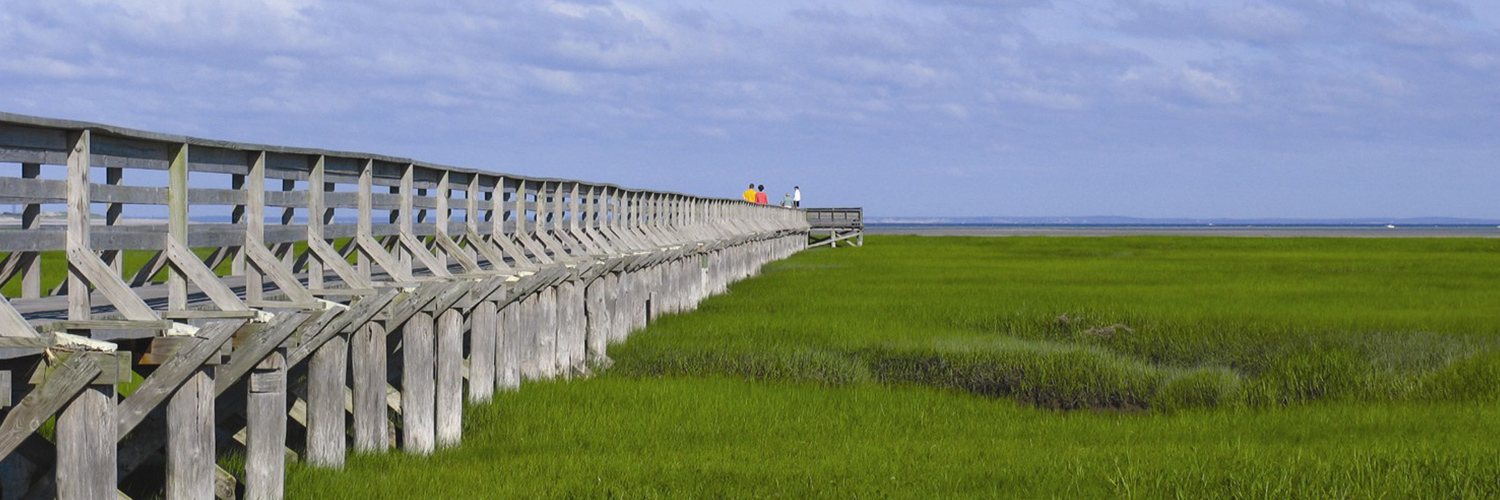
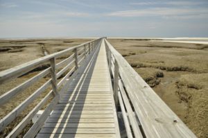
This trail is located north of Route 6A and stretches from Homers Dock Road to the salt marshes west of Center Street. The area displays great ecological diversity in various stages of vegetative succession. Soil is rich and deep with organics, indicating an aggressive farming history. Abandoned cranberry bogs and ancient saltwater bogs are present with original dikes intact. The Bass Hole Boardwalk is one of the more popular attractions within the area.
Crab Creek Conservation Area
The trail winds its way along the shore of Crab Creek. This area has long been a favorite for crabbing enthusiasts with its abundance of blue crabs, Callinectes sapidus. Blue crabs measuring five (5) inches from point to point may be taken without a permit. However, a state permit is required when using traps or pots.
Dennis Pond Conservation Area
The main trail is approximately 3,285 feet long and winds its way through a variety of woodland communities. There is also a side trail that follows closely along the shoreline and rejoins the main trail later.
Horse Pond Conservation Area
These trails are located within a 400-acre tract of town-owned land. The main trail occurs along the northern perimeters of Horse Pond with spurs, loops, and connectors to other trail systems.
Meadowbrook Conservation Area
This area consists of brackish marsh, salt marsh, and relic Atlantic white cedar swamp fronting on Swan Pond. A 310-foot boardwalk leads from the parking area to the north shore of Swan Pond.
Raymond J. Syrjala Conservation Area
This area is 15 acres in size with a trail approximately 3,500 feet in length and forms a loop that passes through a rather wet environment. A man-made reservoir to the east of the trail was created to store water for the now-abandoned cranberry bogs.
Sandy Pond Conservation Area
Sandy Pond is approximately 12 acres in area and presents itself as a classic “kettle” pond with steep slopes and a depth of 35 feet. A nature trail leads around the entire pond and connects to other trails to the north, west, and east.
Thacher Show Conservation Area
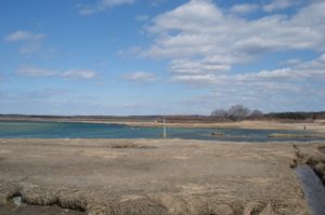
This area consists mostly of salt march with a short trail through a wooded thicket. The marsh end of the trail boasts commanding scenic views of the salt marshes and island thickets. The Pilgrim Monument in Provincetown can be seen to the north on an exceptionally clear day.

